Tall Cactus Quickie
From the next couple days after San Felipe, there is little to report. Most of the sites, the population centers, the things-to-do, were much farther south. Now, we just had to make tracks to get there.
Both routes lead to the same stretch of deserted highway. From San Felipe, Route 5 carries on down the coast past tiny ranches for rustic camping, before heading inland to meet Highway, snaking down from the border at Tijuana. For a few hundred barren kilometers, the road rides the spine of Baja with little more than dusty ranches along the way. On the map, they might appear as actual towns, but be aware that they are not. Each will offer the weary traveller a drink and a meal, just don’t hold your breath for fuel, a grocery store, or any more advanced markers of civilization. And that suites this part of the Baja just fine.
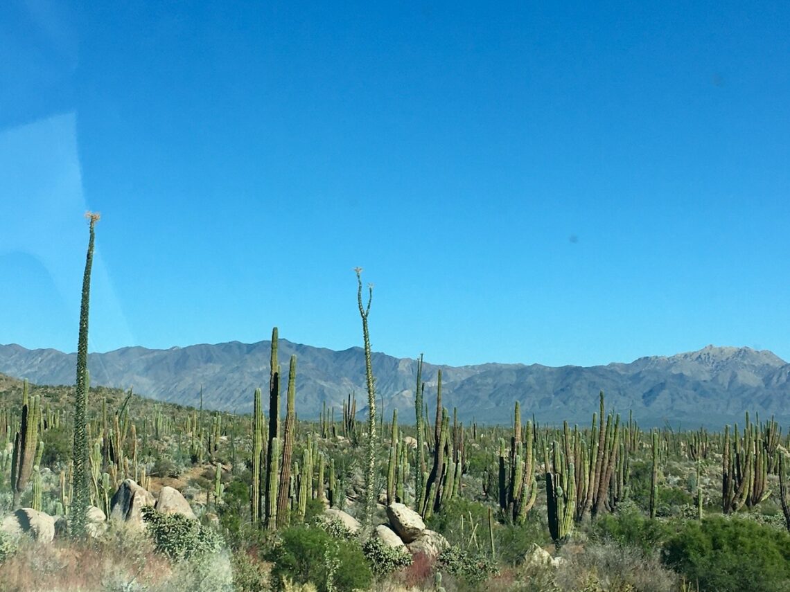
What you will see are fields of cactus: tall saguaro, ocotillo (we just learned what they are), low ones, coral-like ones, even one that reminds us of a Christmas tree, complete with a star on top. The problem is, there’s little place to pull off and see them. We were now introduced to Mexico Highway 1: wide enough for two semi trucks to pass, just, and no more. There is no shoulder. Full attention on the road is required and when I pulled out to pass a truck (they flash their lights to let you know it is safe to pass) Sarah and I would both hold our breath as we hit the narrowest point between the to speeding vehicles, no room, no pavement for error, until we were past and safe again.
The cactus here, really are impressive, so do what you can to snag a picture of some. I know there will be more all the way south, but here they reign supreme over an unforgiving rocky desert.
Eventually you drop down to flat scrubland, a dull welcome to the dull (sorry) albeit necessary city of Guererro Negro. You’ll also cross into Baja Sur where your car will be sprayed “for bugs.” Weird. The hotel was thankfully quite comfortable. I pulled out our stove and cooked up some beans on our patio. [I’ll throw in the hotel names here eventually as I think it may be helpful. The thing is, everything changes: the prices, the names, the quality.]
If we had timed it better, we could use this as a launching pad for whales. A month later and the greys would be nursing nearby after their long journey from Alaska to winter in warmer water. Apparently, it’s quite something with dozens congregating in the lagoon, coming right up to your boat. Instead, it was back across the peninsula (this would become a theme) towards Mulegé.
A little tip for anyone coming this way: stop in San Ignacio. You’ll drive through it, but you may not feel it to be worth the stop. It totally is. The little oasis is a slice of the Mexico you may have been thinking of when you crossed the border some six hundred kilometers ago. Some things to enjoy:
- It’s a slice of green in a brown, dry landscape – a real oasis feel
- There’s a shady central square, clean with tall trees and benches that will work for a snack stop
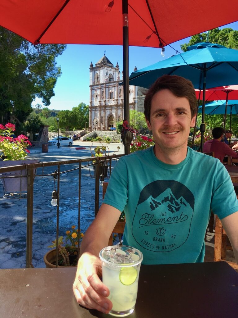
- The Jesuit mission is right there on the square
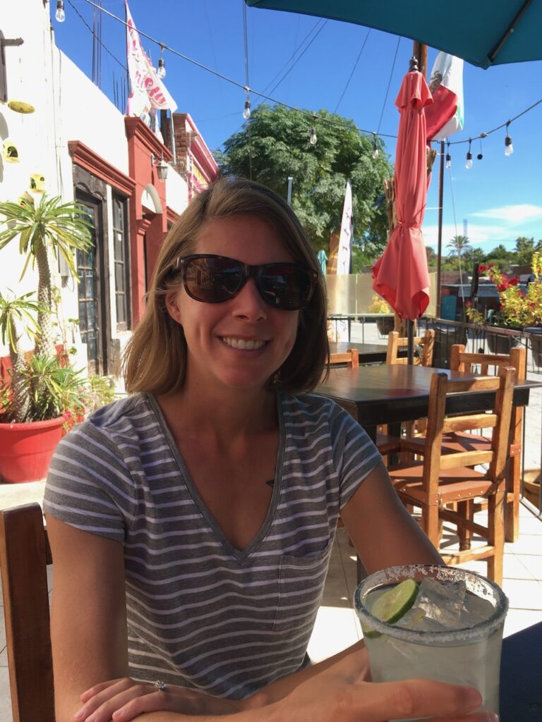
- A handful of shops and a pleasance restaurant for a midday margarita
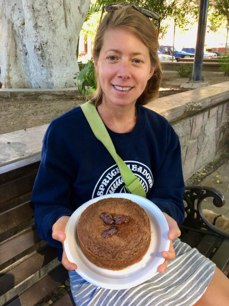
- Dates! This is there thing, so be sure to grab a freshly made cake
- We made a dog friend and wanted to take him with us – very well behaved as we ate
Travelling on, you drop into Santa Rosalia. There is some interesting mining history here, but we didn’t stop. Another 45 minutes south and we made it to Mulegé. It was here that my family had their Mexican version of Christmas all those years ago and it still holds a fond place in my memory. This is as far south as we made it and I can see why – pulling a trailer, you go slow on these roads. More than the bit of nostalgia, it is in many ways the start of the Baja for us. From here south we would go slower and see more. The transition to Mexico was over – it was time for the next chapter.